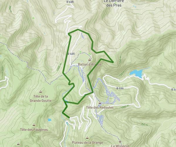
This walking route covers 6.124mi starting from Diefmatten, Haut-Rhin. The walk is a loop trail and returns to the trailhead. This walk is rated as hard, plan for about 2h11m to complete it. The route has an elevation gain of 456ft and an elevation loss of 459ft.
test 10km
Route details
21:25/mi
Pace
535 kcal
Calories burned
Loop trail
Route type
948ft
Min altitude
1165ft
Max altitude
Route profile
456ft
Elevation gain
459ft
Elevation loss
948ft
Min altitude
1165ft
Max altitude
How to get there
Trailhead: Rue De Sternenberg, 68780 Diefmatten
GPS coordinates of the trailhead: 47.70847, 7.1139 / 47°42'30'' N, 7°6'50'' E