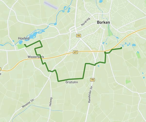
This cycling route covers 11.144mi starting from Wesel, North Rhine-Westphalia. The ride does not return to the trailhead and ends near Gehrstraße 25, 46562 Voerde, Germany. This route is rated as moderate, plan for about 1h7m to complete it. The route has an elevation gain of 463ft and an elevation loss of 479ft.
Weselfit
Route details
592 kcal
Calories burned
1.6%
Avg grade
Point to point
Route type
36ft
Min altitude
105ft
Max altitude
Route profile
463ft
Elevation gain
479ft
Elevation loss
36ft
Min altitude
105ft
Max altitude
How to get there
Trailhead: Pastor-Janßen-Straße 4, 46483 Wesel, Germany
GPS coordinates of the trailhead: 51.655828, 6.611887 / 51°39'20'' N, 6°36'42'' E