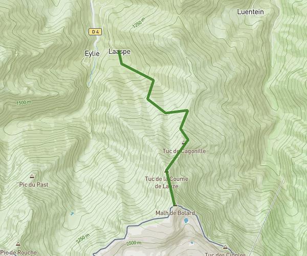
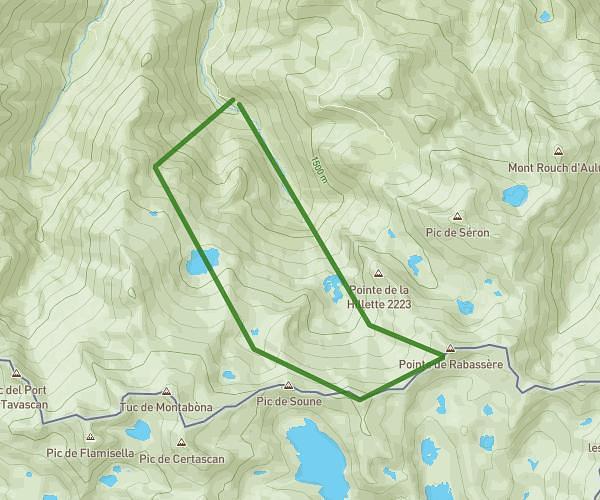
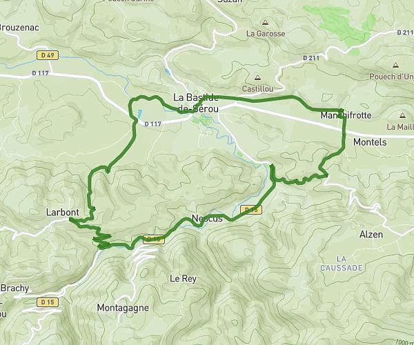
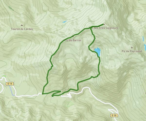
This hiking trail covers 9.753mi starting from Saint-Girons, Ariège. The hike is a loop trail and returns to the trailhead. This hike is rated as strenuous, plan for about 3h30m to complete it. The route has an elevation gain of 1729ft and an elevation loss of 1722ft.
24 mars 2024
Ah
Myhunt
Route details
2.78mph
Speed
1552 kcal
Calories burned
6.7%
Avg grade
Loop trail
Route type
1939ft
Min altitude
2664ft
Max altitude
Route profile
1729ft
Elevation gain
1722ft
Elevation loss
1939ft
Min altitude
2664ft
Max altitude
How to get there
Trailhead: Chemin De Caychenat, 09200 Saint-Girons
GPS coordinates of the trailhead: 42.96973, 1.1838 / 42°58'11'' N, 1°11'1'' E