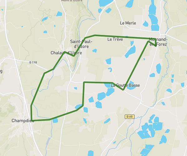
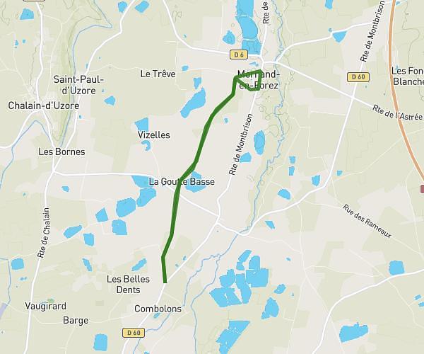
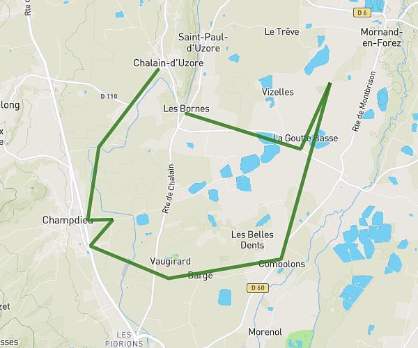
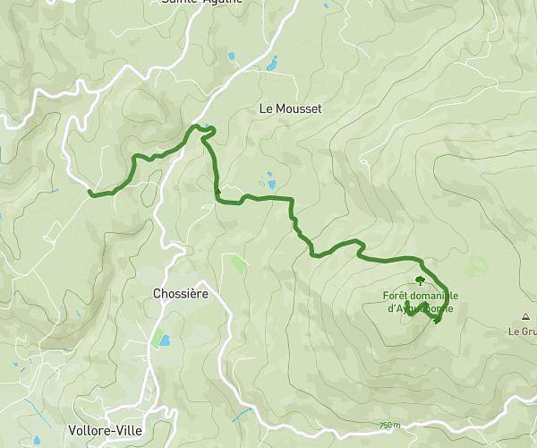
This running route covers 4.228mi starting from Saint-Sixte, Loire. The run is a loop trail and returns to the trailhead. This run is rated as easy, expect about 45m to complete it. The route has an elevation gain of 699ft and an elevation loss of 699ft.
Début école St Sixte
Route details
5.64mph
Speed
515 kcal
Calories burned
Loop trail
Route type
1621ft
Min altitude
2060ft
Max altitude
Route profile
699ft
Elevation gain
699ft
Elevation loss
1621ft
Min altitude
2060ft
Max altitude
How to get there
Trailhead: 96 Chemin De L'école, 42130 Saint-Sixte, France
GPS coordinates of the trailhead: 45.77496, 3.98138 / 45°46'29'' N, 3°58'52'' E