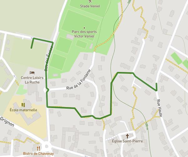
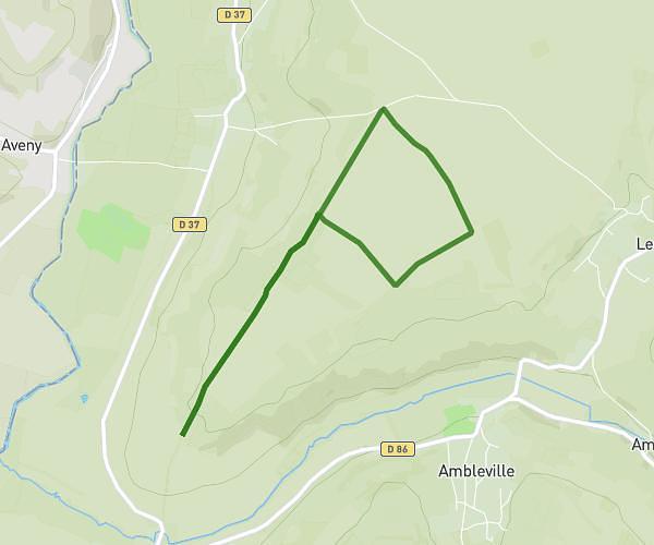
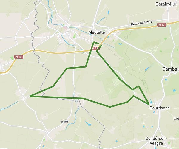
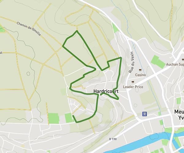
This hiking trail covers 13.989mi starting from Mantes-la-Jolie, Yvelines. The hike does not return to the trailhead and ends near 17 Quai Anatole Caméré, 27200 Vernon, France. This hike is rated as moderate, plan for about 4h53m to complete it. The route has an elevation gain of 627ft and an elevation loss of 689ft.
Mante - verno
Route details
2.86mph
Speed
2080 kcal
Calories burned
1.8%
Avg grade
Point to point
Route type
30ft
Min altitude
390ft
Max altitude
Route profile
627ft
Elevation gain
689ft
Elevation loss
30ft
Min altitude
390ft
Max altitude
How to get there
Trailhead: 4 Place Du 8 Mai 1945, 78200 Mantes-la-Jolie, France
GPS coordinates of the trailhead: 48.989563, 1.704143 / 48°59'22'' N, 1°42'14'' E