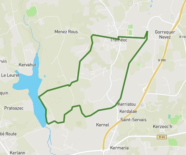
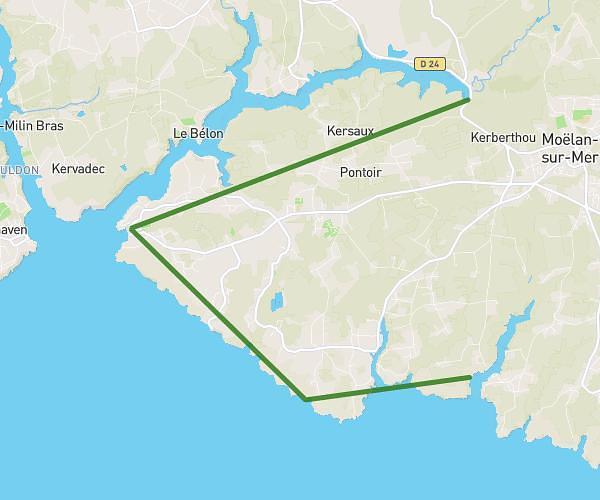
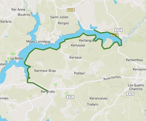
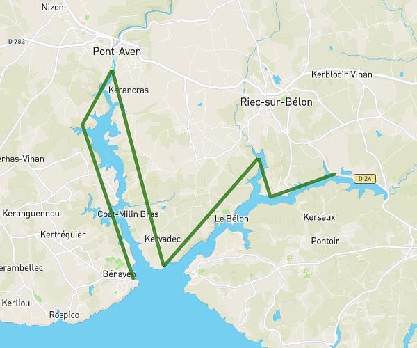
Explore this hiking route of 9.24km starting from La Forêt-Fouesnant, Finistère. The hike does not return to the starting point and ends near Route Des Dunes, 29170 Fouesnant. This hike has no defined difficulty level, plan for about 2h18m to complete it. The route has a positive elevation gain of 198m and a negative elevation loss of 203m.
fouesnant
Route details
Route profile
198m
Elevation +
203m
Elevation -
0m
Min altitude
24m
Max altitude
How to get there
Route starting point: Route De Port-La-Forêt, 29940 La Forêt-Fouesnant
GPS coordinates of the starting point: 47.89805, -3.96796 / 47°53'52'' N, 3°58'4'' W
Calculate the time to reach the starting point from your location or an address