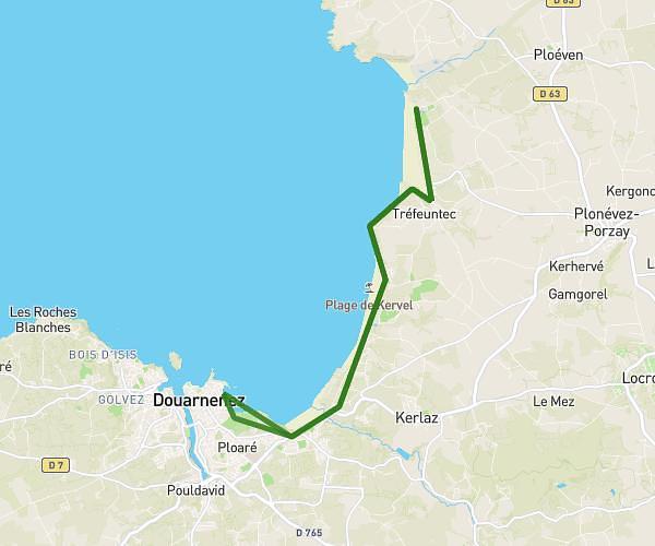
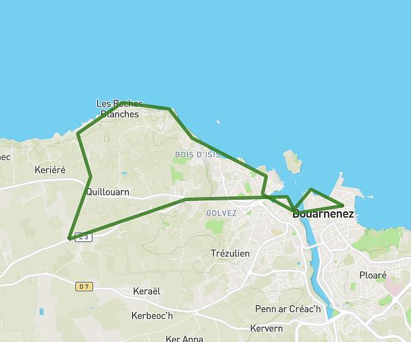
This hiking trail covers 5.871mi starting from Tréméoc, Finistère. The hike is a loop trail and returns to the trailhead. This hike is rated as easy, plan for about 2h21m to complete it. The route has an elevation gain of 348ft and an elevation loss of 348ft.
tremeoc moulin neuf
Route details
2.49mph
Speed
1011 kcal
Calories burned
2.2%
Avg grade
Loop trail
Route type
33ft
Min altitude
141ft
Max altitude
Route profile
348ft
Elevation gain
348ft
Elevation loss
33ft
Min altitude
141ft
Max altitude
How to get there
Trailhead: Rue Du Manoir, 29120 Tréméoc
GPS coordinates of the trailhead: 47.90585, -4.21175 / 47°54'21'' N, 4°12'42'' W