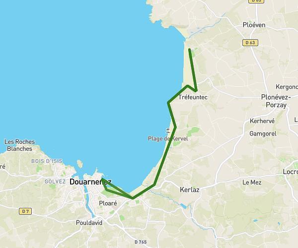
This hiking trail covers 9.457mi starting from Douarnenez, Finistère. The hike is a loop trail and returns to the trailhead. This hike is rated as hard, plan for about 5h56m to complete it. The route has an elevation gain of 1040ft and an elevation loss of 1040ft.
boucle douarnenez, les roches blanches
Route details
1.59mph
Speed
2585 kcal
Calories burned
4.2%
Avg grade
Loop trail
Route type
-3ft
Min altitude
279ft
Max altitude
Route profile
1040ft
Elevation gain
1040ft
Elevation loss
-3ft
Min altitude
279ft
Max altitude
How to get there
Trailhead: 4 Rue De Pors Laouen, 29100 Douarnenez, France
GPS coordinates of the trailhead: 48.09561, -4.3271 / 48°5'44'' N, 4°19'37'' W