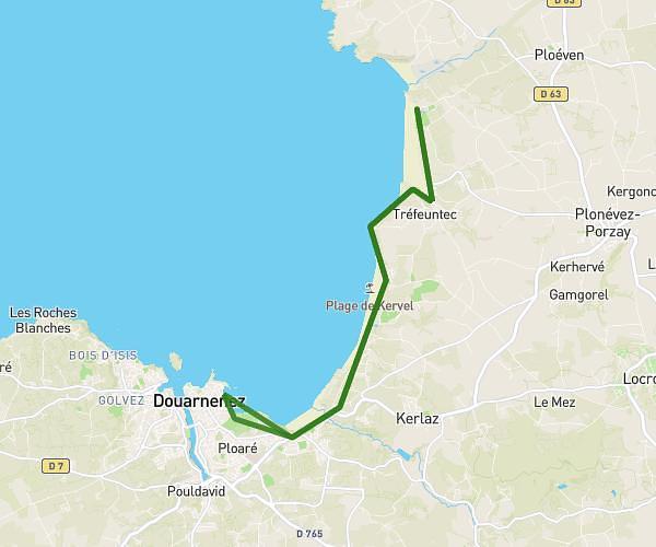
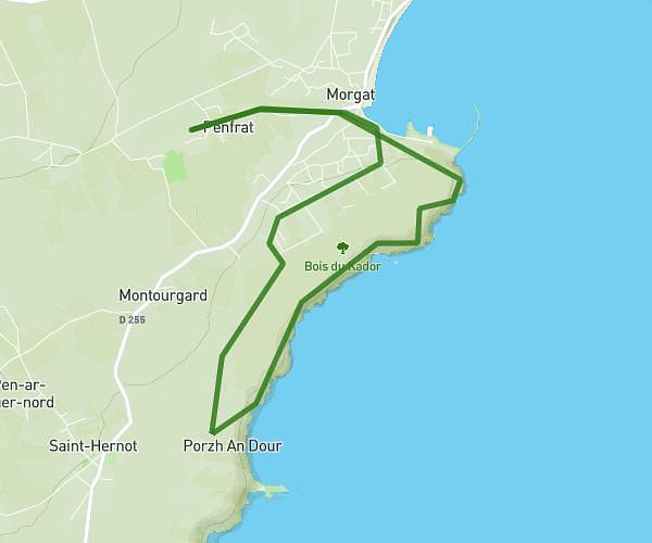
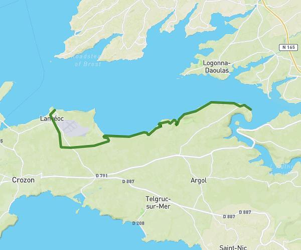
This hiking trail covers 12.963mi starting from Goulien, Finistère. The hike does not return to the trailhead and ends near 2 Route Du Port De Bestrée, 29770 Plogoff, France. This hike is rated as hard, plan for about 1h58m to complete it. The route has an elevation gain of 1119ft and an elevation loss of 1145ft.
Etape 3 - GR34 (fin)
Route details
6.59mph
Speed
849 kcal
Calories burned
3.3%
Avg grade
Point to point
Route type
20ft
Min altitude
233ft
Max altitude
Route profile
1119ft
Elevation gain
1145ft
Elevation loss
20ft
Min altitude
233ft
Max altitude
How to get there
Trailhead: 10 Rue De La Mairie, 29770 Goulien, France
GPS coordinates of the trailhead: 48.06975, -4.60313 / 48°4'11'' N, 4°36'11'' W