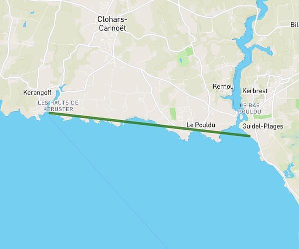
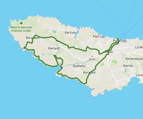
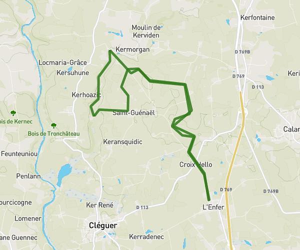
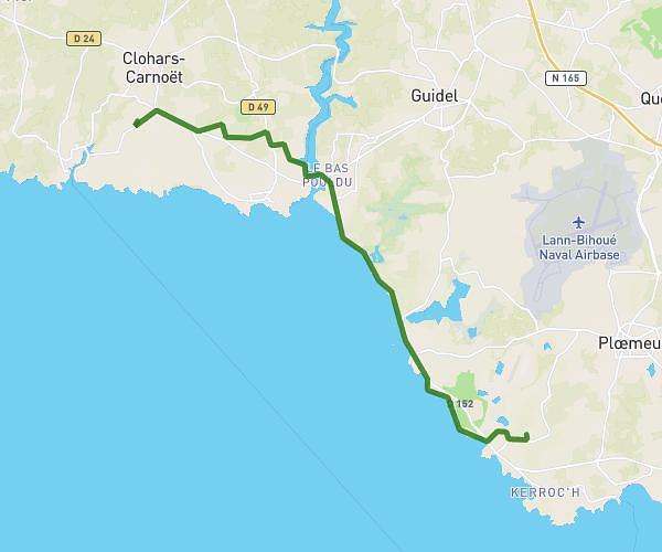
This hiking trail covers 18.589mi starting from Névez, Finistère. The hike does not return to the trailhead and ends near D 24, 29340 Riec-sur-Bélon, France. This hike is rated as moderate, plan for about 5h58m to complete it. The route has an elevation gain of 689ft and an elevation loss of 715ft.
jours 2
Route details
3.11mph
Speed
2542 kcal
Calories burned
1.4%
Avg grade
Point to point
Route type
20ft
Min altitude
148ft
Max altitude
Route profile
689ft
Elevation gain
715ft
Elevation loss
20ft
Min altitude
148ft
Max altitude
How to get there
Trailhead: 30 Rue De L'aven, 29920 Névez, France
GPS coordinates of the trailhead: 47.80136, -3.74047 / 47°48'4'' N, 3°44'25'' W