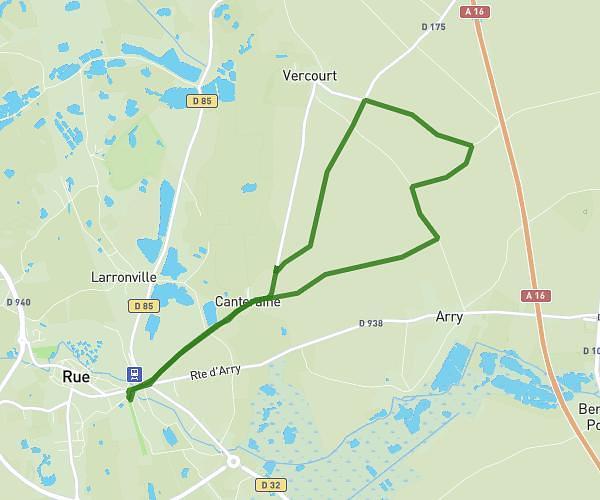
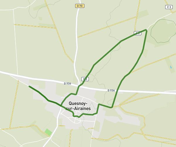
This running route covers 1.333mi starting from Chaulnes, Somme. The run does not return to the trailhead and ends near Rue Pierre Et Marie Curie, 80320 Chaulnes. This run is rated as easy, expect about 13m to complete it. The route has an elevation gain of 52ft and an elevation loss of 20ft.
debut
Route details
6.15mph
Speed
149 kcal
Calories burned
Point to point
Route type
289ft
Min altitude
341ft
Max altitude
Route profile
52ft
Elevation gain
20ft
Elevation loss
289ft
Min altitude
341ft
Max altitude
How to get there
Trailhead: Résidence Chenonceaux, 80320 Chaulnes
GPS coordinates of the trailhead: 49.81182, 2.8014 / 49°48'42'' N, 2°48'5'' E