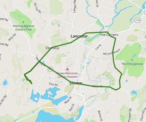
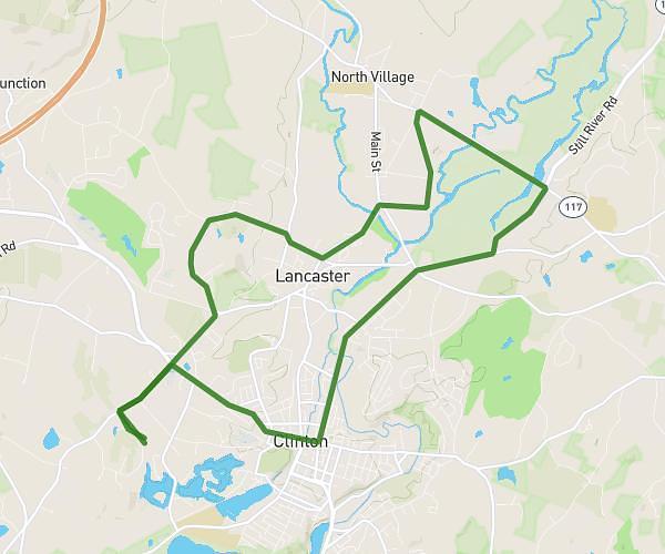
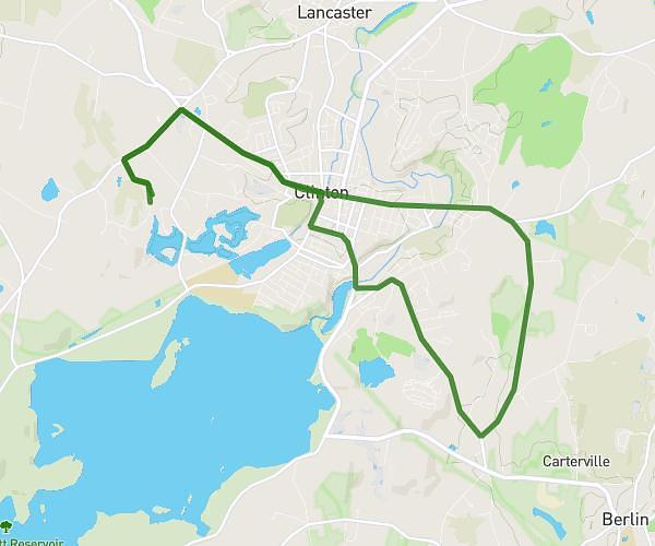
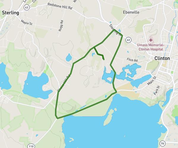
This cycling route covers 15.001mi starting from South Hamilton, Massachusetts. The ride is a loop trail and returns to the trailhead. This route is rated as moderate, plan for about 1h to complete it. The route has an elevation gain of 341ft and an elevation loss of 341ft.
Great Neck - short ride
Route details
528 kcal
Calories burned
0.9%
Avg grade
Loop trail
Route type
10ft
Min altitude
95ft
Max altitude
Route profile
341ft
Elevation gain
341ft
Elevation loss
10ft
Min altitude
95ft
Max altitude
How to get there
Trailhead: 65 Gardner Street, South Hamilton, Massachusetts 01982, United States
GPS coordinates of the trailhead: 42.63939, -70.84044 / 42°38'21'' N, 70°50'25'' W