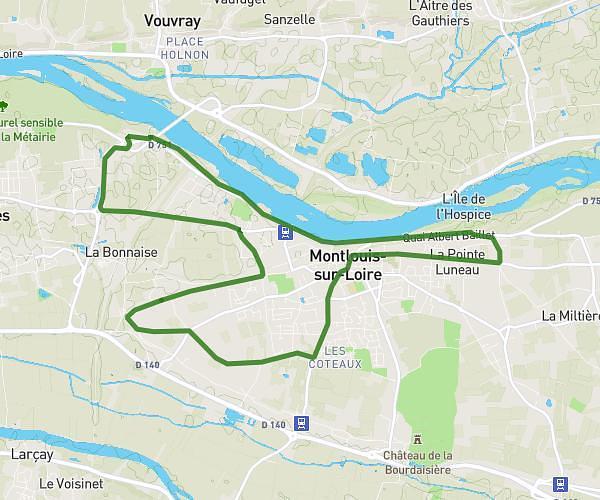
This running route covers 7.073mi starting from Mazières-de-Touraine, Indre-et-Loire. The run is a loop trail and returns to the trailhead. This run is rated as moderate, expect about 1h10m to complete it. The route has an elevation gain of 417ft and an elevation loss of 417ft.
11.3 km mazieres
Route details
6.01mph
Speed
808 kcal
Calories burned
Loop trail
Route type
276ft
Min altitude
361ft
Max altitude
Route profile
417ft
Elevation gain
417ft
Elevation loss
276ft
Min altitude
361ft
Max altitude
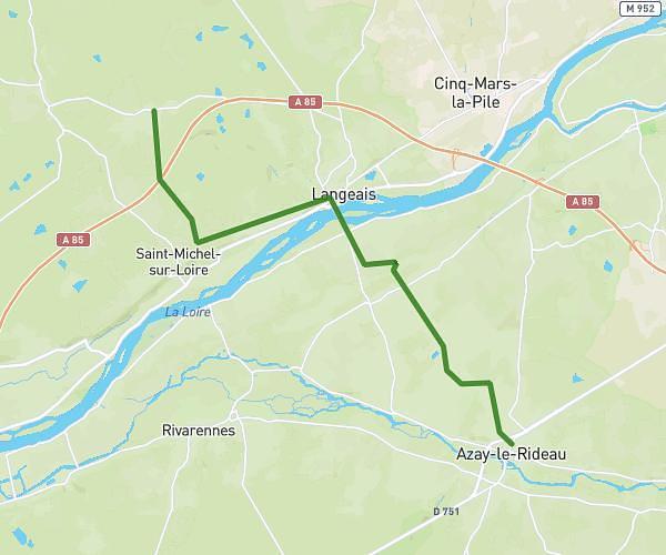
How to get there
Trailhead: Rue Du 8 Mai, 37130 Mazières-de-Touraine
GPS coordinates of the trailhead: 47.3848, 0.42516 / 47°23'5'' N, 0°25'30'' E