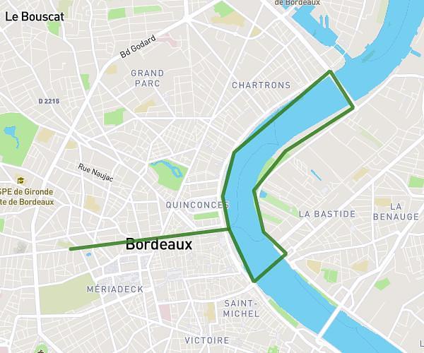
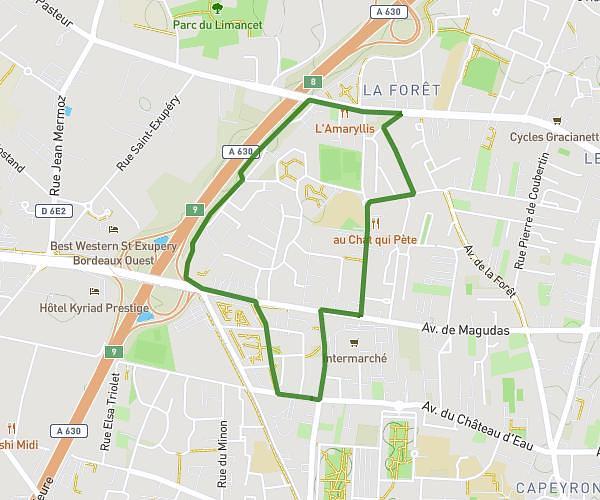
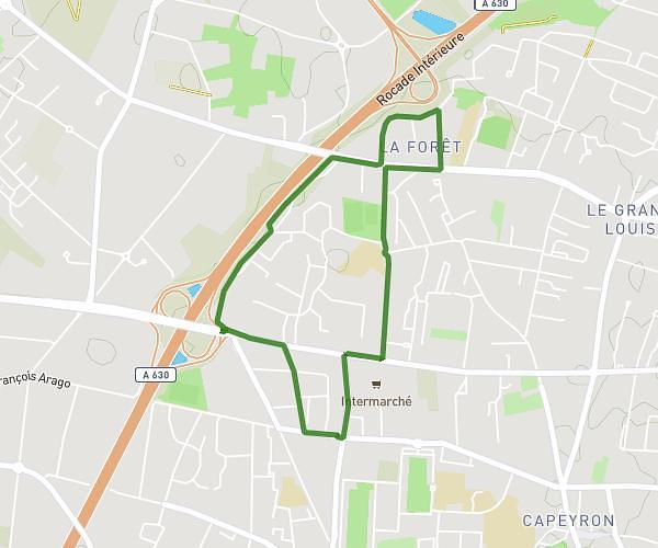
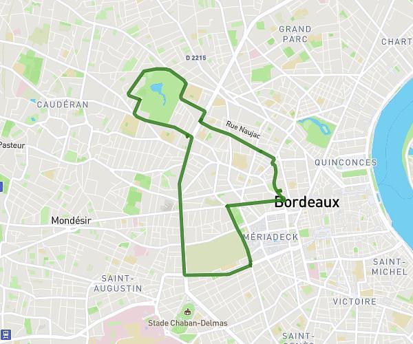
This running route covers 9.244mi starting from Bordeaux, Gironde. The run does not return to the trailhead and ends near 31 Quai Richelieu, 33000 Bordeaux, France. This run is rated as hard, expect about 2h28m to complete it. The route has an elevation gain of 410ft and an elevation loss of 417ft.
Pont d'Aquitaine
Route details
3.73mph
Speed
1701 kcal
Calories burned
Point to point
Route type
7ft
Min altitude
200ft
Max altitude
Route profile
410ft
Elevation gain
417ft
Elevation loss
7ft
Min altitude
200ft
Max altitude
How to get there
Trailhead: 19 Quai De Bacalan, 33300 Bordeaux, France
GPS coordinates of the trailhead: 44.85902, -0.555 / 44°51'32'' N, 0°33'18'' W