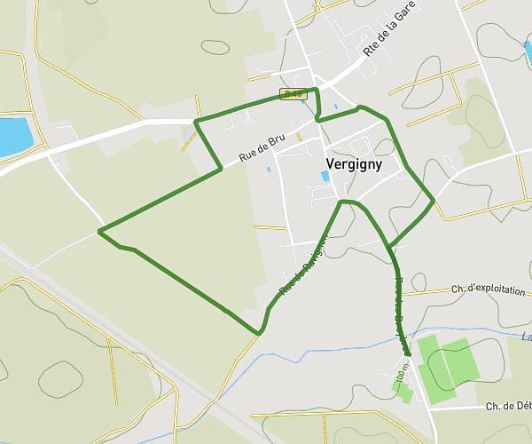
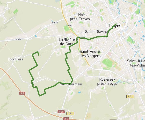
This hiking trail covers 11.146mi starting from Sommeval, Aube. The hike does not return to the trailhead and ends near D 53, 10440 Torvilliers, France. This hike is rated as hard, plan for about 3h56m to complete it. The route has an elevation gain of 1020ft and an elevation loss of 1325ft.
Raid j1
Route details
2.83mph
Speed
1700 kcal
Calories burned
4.0%
Avg grade
Point to point
Route type
387ft
Min altitude
965ft
Max altitude
Route profile
1020ft
Elevation gain
1325ft
Elevation loss
387ft
Min altitude
965ft
Max altitude
How to get there
Trailhead: 247 Rue De L'église, 10320 Sommeval, France
GPS coordinates of the trailhead: 48.165587, 3.966094 / 48°9'56'' N, 3°57'57'' E