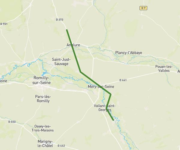
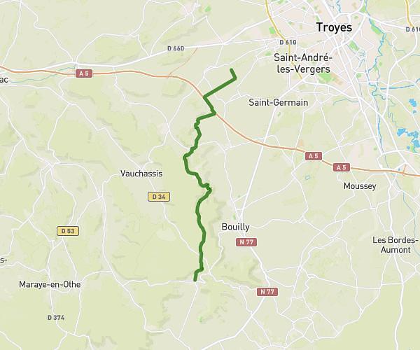
This hiking trail covers 10.25mi starting from La Rivière-de-Corps, Aube. The hike does not return to the trailhead and ends near 38 Rue Georges Clemenceau, 10000 Troyes, France. This hike is rated as easy, plan for about 1h8m to complete it. The route has an elevation gain of 259ft and an elevation loss of 282ft.
Raid j2
Route details
9.05mph
Speed
480 kcal
Calories burned
1.0%
Avg grade
Point to point
Route type
328ft
Min altitude
440ft
Max altitude
Route profile
259ft
Elevation gain
282ft
Elevation loss
328ft
Min altitude
440ft
Max altitude
How to get there
Trailhead: 464 Nagot, 10440 La Rivière-de-Corps, France
GPS coordinates of the trailhead: 48.277528, 3.999021 / 48°16'39'' N, 3°59'56'' E