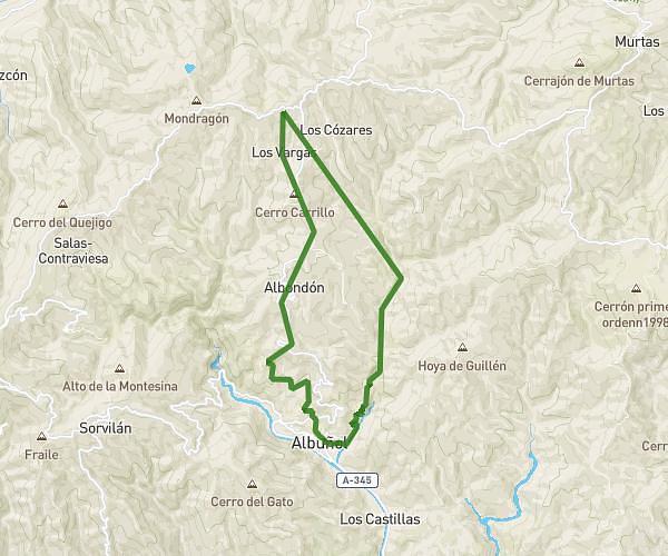
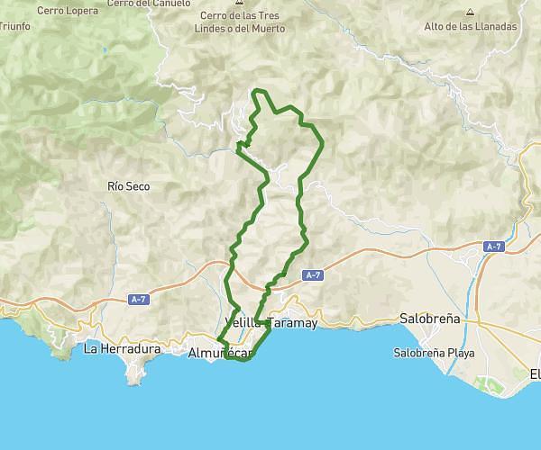
This running route covers 12.667mi starting from Motril, Granada. The run is a loop trail and returns to the trailhead. This run is rated as strenuous, expect about 1h57m to complete it. The route has an elevation gain of 413ft and an elevation loss of 413ft.
Tanatorio- Robinson- Acequia Salobreña - Mirasierra - Tanatorio
Route details
6.49mph
Speed
1338 kcal
Calories burned
Loop trail
Route type
-7ft
Min altitude
161ft
Max altitude
Route profile
413ft
Elevation gain
413ft
Elevation loss
-7ft
Min altitude
161ft
Max altitude
How to get there
Trailhead: Gr-5209, 18600 Motril
GPS coordinates of the trailhead: 36.74114, -3.50777 / 36°44'28'' N, 3°30'27'' W