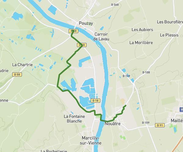
This hiking trail covers 8.92mi starting from Crissay-sur-Manse, Indre-et-Loire. The hike is a loop trail and returns to the trailhead. This hike is rated as easy, plan for about 3h48m to complete it. The route has an elevation gain of 571ft and an elevation loss of 548ft.
Crissay-Avon les Roches
Route details
2.35mph
Speed
1628 kcal
Calories burned
2.4%
Avg grade
Loop trail
Route type
180ft
Min altitude
371ft
Max altitude
Route profile
571ft
Elevation gain
548ft
Elevation loss
180ft
Min altitude
371ft
Max altitude
How to get there
Trailhead: Place De L'église, 37220 Crissay-sur-Manse, France
GPS coordinates of the trailhead: 47.14786, 0.48655 / 47°8'52'' N, 0°29'11'' E