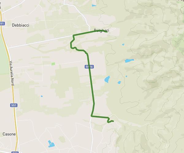
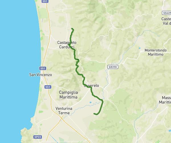
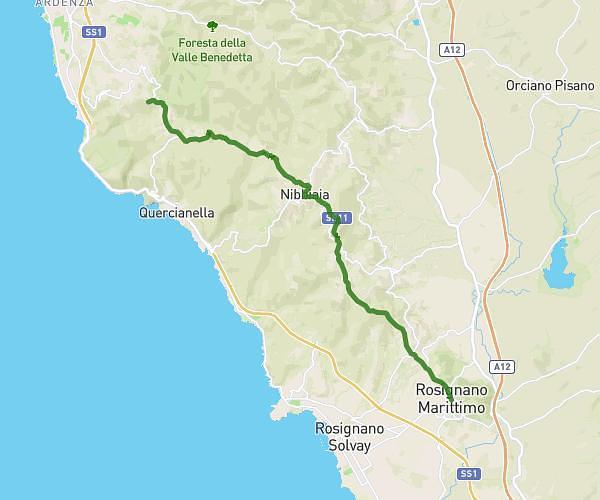
This hiking trail covers 11.866mi starting from Castagneto Carducci, Livorno. The hike does not return to the trailhead and ends near Viale Vittorio Veneto 16, 56040 Montescudaio Pisa, Italy. This hike is rated as hard, plan for about 7h37m to complete it. The route has an elevation gain of 1647ft and an elevation loss of 1207ft.
Bolgheri-Montescudaio
Route details
1.56mph
Speed
3339 kcal
Calories burned
4.6%
Avg grade
Point to point
Route type
115ft
Min altitude
879ft
Max altitude
Route profile
1647ft
Elevation gain
1207ft
Elevation loss
115ft
Min altitude
879ft
Max altitude
How to get there
Trailhead: Via Del Poggio 5, 57022 Castagneto Carducci Livorno, Italy
GPS coordinates of the trailhead: 43.23352, 10.62015 / 43°14'0'' N, 10°37'12'' E