MapPlanner
4.959mi
Distance
1h51m
Duration
+328ft
Elevation gain
-135ft
Elevation loss
Hard
Level

Guado al Melo > Bolgheri

Route details

2.68mph
Speed
793 kcal
Calories burned
1.8%
Avg grade
Point to point
Route type
102ft
Min altitude
335ft
Max altitude

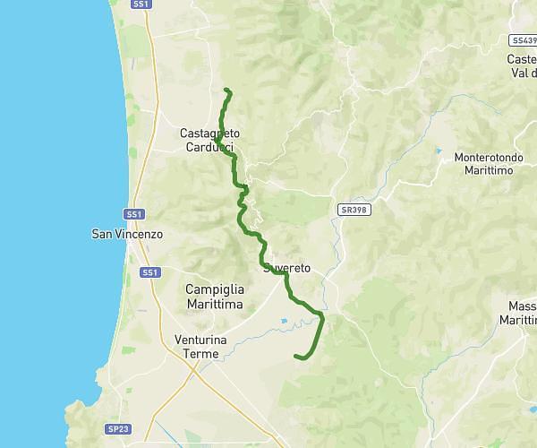
This hiking trail covers 4.959mi starting from Castagneto Carducci, Livorno. The hike does not return to the trailhead and ends near Via Del Poggio 37, 57022 Castagneto Carducci Livorno, Italy. This hike is rated as hard, plan for about 1h51m to complete it. The route has an elevation gain of 328ft and an elevation loss of 135ft.

Description of the route by the creator
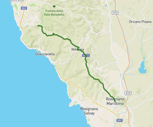
Part b

(Description automatically translated)

Route profile

328ft
Elevation gain
135ft
Elevation loss
102ft
Min altitude
335ft
Max altitude

How to get there

Trailhead: Strada Del Crocino Di Lamentano, 57022 Castagneto Carducci Livorno, Italy

GPS coordinates of the trailhead: 43.19306, 10.62517 / 43°11'35'' N, 10°37'30'' E

Caution: May Cross Private Property

This route may pass through or near private property. Always respect posted signs, obtain permission where required, and follow local trespassing laws. MapPlanner does not guarantee public access along any route.

Safety Notice

Trail and road conditions may change without notice due to weather, construction, or other factors. Always verify current conditions before heading out. You are responsible for your own safety — follow local signage, obey traffic laws, and use your best judgment on the trail.