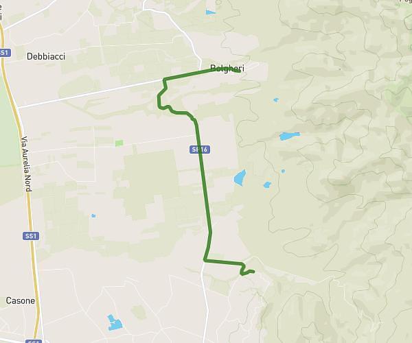
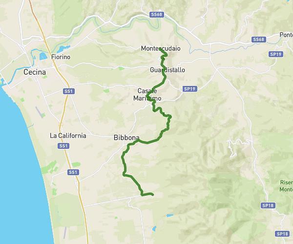
This hiking trail covers 10.613mi starting from Rosignano Marittimo, Livorno. The hike does not return to the trailhead and ends near Via Di Quercianella 8, 57128 Livorno Livorno, Italy. This hike is rated as hard, plan for about 4h35m to complete it. The route has an elevation gain of 1696ft and an elevation loss of 1237ft.
Rosignagno Maritimo-Castellaccio
Route details
2.32mph
Speed
2022 kcal
Calories burned
5.2%
Avg grade
Point to point
Route type
217ft
Min altitude
1050ft
Max altitude
Route profile
1696ft
Elevation gain
1237ft
Elevation loss
217ft
Min altitude
1050ft
Max altitude
How to get there
Trailhead: Via Antonio Gramsci 21, 57016 Rosignano Marittimo Livorno, Italy
GPS coordinates of the trailhead: 43.4064, 10.47348 / 43°24'23'' N, 10°28'24'' E