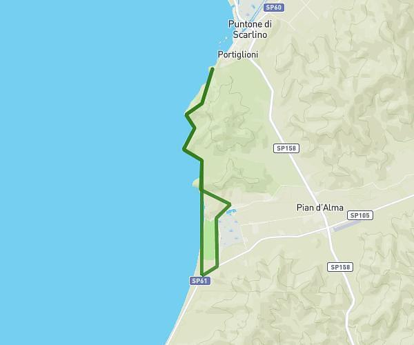
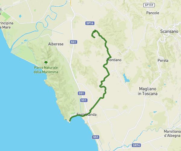
This hiking trail covers 15.175mi starting from Castiglione della Pescaia, Grosseto. The hike does not return to the trailhead and ends near Via Massetana 5, 58022 Follonica Grosseto, Italy. This hike is rated as moderate, plan for about 6h21m to complete it. The route has an elevation gain of 1880ft and an elevation loss of 1867ft.
Castiglione della Pescaia-Follonica
Route details
2.39mph
Speed
2771 kcal
Calories burned
4.7%
Avg grade
Point to point
Route type
3ft
Min altitude
942ft
Max altitude
Route profile
1880ft
Elevation gain
1867ft
Elevation loss
3ft
Min altitude
942ft
Max altitude
How to get there
Trailhead: Via John Fitzgerald Kennedy, 58043 Castiglione della Pescaia Grosseto, Italy
GPS coordinates of the trailhead: 42.77349, 10.84377 / 42°46'24'' N, 10°50'37'' E