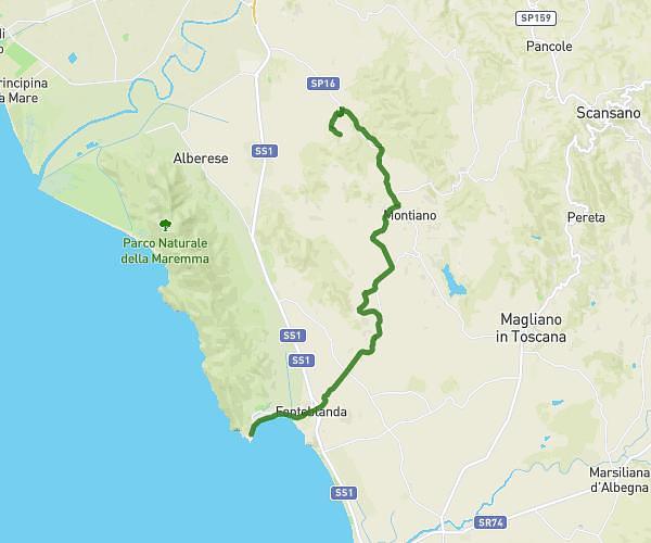
Explore this hiking route of 24.42km starting from Castiglione della Pescaia, Grosseto. The hike does not return to the starting point and ends near Via Massetana, 58022 Follonica. This hike is rated as intermediate, plan for about 6h21m to complete it. The route has a positive elevation gain of 573m and a negative elevation loss of 569m.
Castiglione della Pescaia-Follonica
Route details
Route profile
573m
Elevation +
569m
Elevation -
1m
Min altitude
287m
Max altitude
How to get there
Route starting point: Maremma Sansouci, 58043 Castiglione della Pescaia
GPS coordinates of the starting point: 42.77349, 10.84377 / 42°46'24'' N, 10°50'37'' E
Calculate the time to reach the starting point from your location or an address