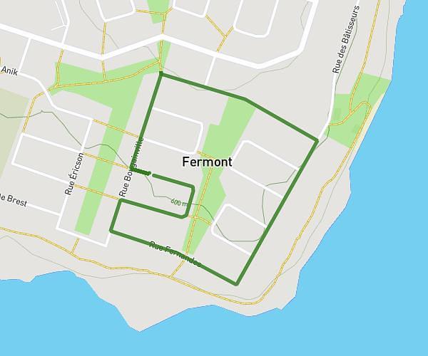
This running route covers 2.134mi starting from Fermont, Quebec. The run is a loop trail and returns to the trailhead. This run is rated as easy, expect about 41m13s to complete it. The route has an elevation gain of 131ft and an elevation loss of 131ft.
Bâtisseur Carrefour Érickson
Route details
3.11mph
Speed
471 kcal
Calories burned
Loop trail
Route type
1946ft
Min altitude
2005ft
Max altitude
Route profile
131ft
Elevation gain
131ft
Elevation loss
1946ft
Min altitude
2005ft
Max altitude
How to get there
Trailhead: Rue Des Sources, G0G 1J0 Fermont
GPS coordinates of the trailhead: 52.79291, -67.08648 / 52°47'34'' N, 67°5'11'' W