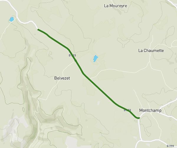
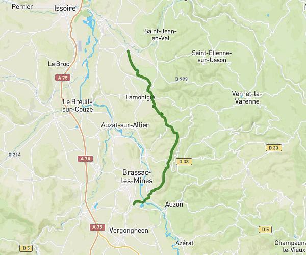
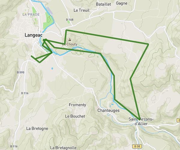
This running route covers 9.805mi starting from Brioude, Haute-Loire. The run is a loop trail and returns to the trailhead. This run is rated as hard, expect about 1h30m to complete it. The route has an elevation gain of 1785ft and an elevation loss of 1791ft.
Trail Touze
Route details
6.54mph
Speed
1029 kcal
Calories burned
Loop trail
Route type
1493ft
Min altitude
2201ft
Max altitude
Route profile
1785ft
Elevation gain
1791ft
Elevation loss
1493ft
Min altitude
2201ft
Max altitude
How to get there
Trailhead: Rue Frédéric Mistral, 43100 Brioude
GPS coordinates of the trailhead: 45.28995, 3.38242 / 45°17'23'' N, 3°22'56'' E