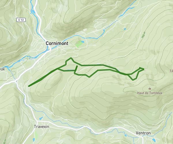
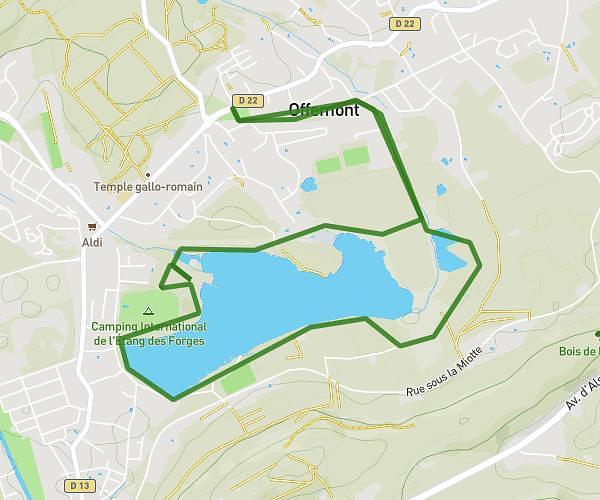
This running route covers 10.282mi starting from Sewen, Haut-Rhin. The run is a loop trail and returns to the trailhead. This run is rated as hard, expect about 1h39m to complete it. The route has an elevation gain of 3245ft and an elevation loss of 3238ft.
Sewen-Gresson-Lac d’alfeld-Langenberg-Sewen
Route details
6.21mph
Speed
1135 kcal
Calories burned
Loop trail
Route type
1565ft
Min altitude
3176ft
Max altitude
Route profile
3245ft
Elevation gain
3238ft
Elevation loss
1565ft
Min altitude
3176ft
Max altitude
How to get there
Trailhead: 28 Grand' Rue, 68290 Sewen, France
GPS coordinates of the trailhead: 47.80671, 6.91013 / 47°48'24'' N, 6°54'36'' E