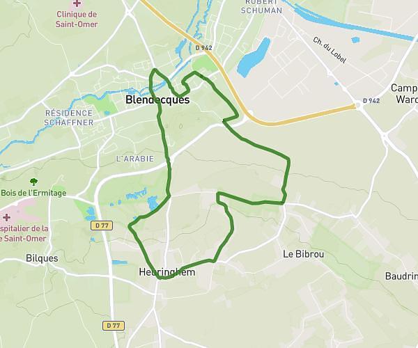
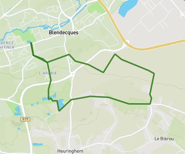
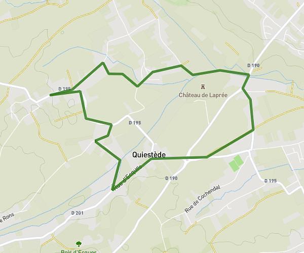
This hiking trail covers 4.315mi starting from Roquetoire, Pas-de-Calais. The hike is a loop trail and returns to the trailhead. This hike is rated as easy, plan for about 1h23m to complete it. The route has an elevation gain of 207ft and an elevation loss of 207ft.
Rando Ligne
Route details
3.11mph
Speed
592 kcal
Calories burned
1.8%
Avg grade
Loop trail
Route type
95ft
Min altitude
233ft
Max altitude
Route profile
207ft
Elevation gain
207ft
Elevation loss
95ft
Min altitude
233ft
Max altitude
How to get there
Trailhead: 1664 Rue De Mametz, 62120 Roquetoire, France
GPS coordinates of the trailhead: 50.660359, 2.328643 / 50°39'37'' N, 2°19'43'' E