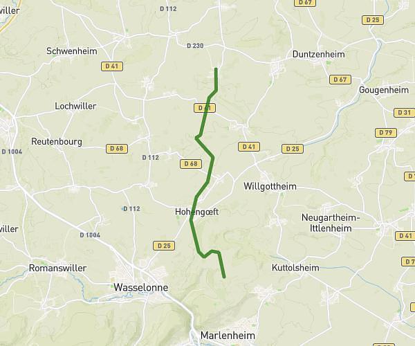
This cycling route covers 16.525mi starting from Weyer, Bas-Rhin. The ride does not return to the trailhead and ends near Rue De La Forêt, 67320 Eschwiller. This route is rated as moderate, plan for about 1h40m to complete it. The route has an elevation gain of 262ft and an elevation loss of 236ft.
Velo
Route details
879 kcal
Calories burned
0.6%
Avg grade
Point to point
Route type
889ft
Min altitude
1030ft
Max altitude
Route profile
262ft
Elevation gain
236ft
Elevation loss
889ft
Min altitude
1030ft
Max altitude
How to get there
Trailhead: Rue Principale, 67320 Weyer
GPS coordinates of the trailhead: 48.85477, 7.16032 / 48°51'17'' N, 7°9'37'' E