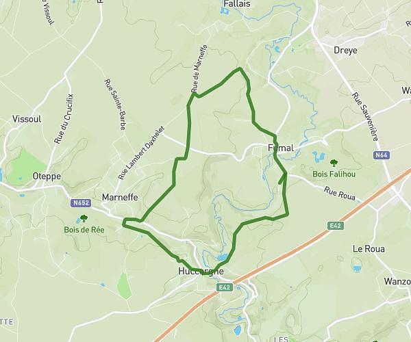
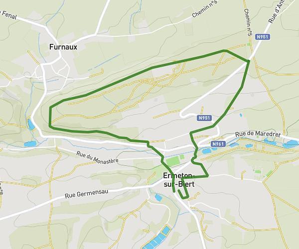
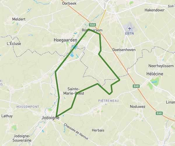
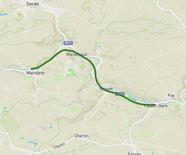
This hiking trail covers 9.096mi starting from Andenne, Namur. The hike is a loop trail and returns to the trailhead. This hike is rated as moderate, plan for about 3h15m to complete it. The route has an elevation gain of 945ft and an elevation loss of 945ft.
15 km
Route details
2.8mph
Speed
1410 kcal
Calories burned
3.9%
Avg grade
Loop trail
Route type
233ft
Min altitude
636ft
Max altitude
Route profile
945ft
Elevation gain
945ft
Elevation loss
233ft
Min altitude
636ft
Max altitude
How to get there
Trailhead: Rue De Gramptinne, 5300 Andenne
GPS coordinates of the trailhead: 50.46518, 5.00087 / 50°27'54'' N, 5°0'3'' E