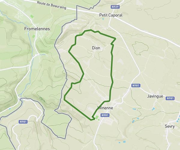
This hiking trail covers 5.646mi starting from Onhaye, Namur. The hike is a loop trail and returns to the trailhead. This hike is rated as moderate, plan for about 2h4m to complete it. The route has an elevation gain of 745ft and an elevation loss of 745ft.
falaen maredret
Route details
2.73mph
Speed
904 kcal
Calories burned
5.0%
Avg grade
Loop trail
Route type
476ft
Min altitude
682ft
Max altitude
Route profile
745ft
Elevation gain
745ft
Elevation loss
476ft
Min altitude
682ft
Max altitude
How to get there
Trailhead: Rue De La Gare 82, 5522 Onhaye, Namur, Belgium
GPS coordinates of the trailhead: 50.29129, 4.80182 / 50°17'28'' N, 4°48'6'' E