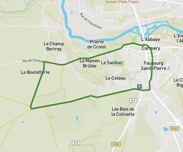
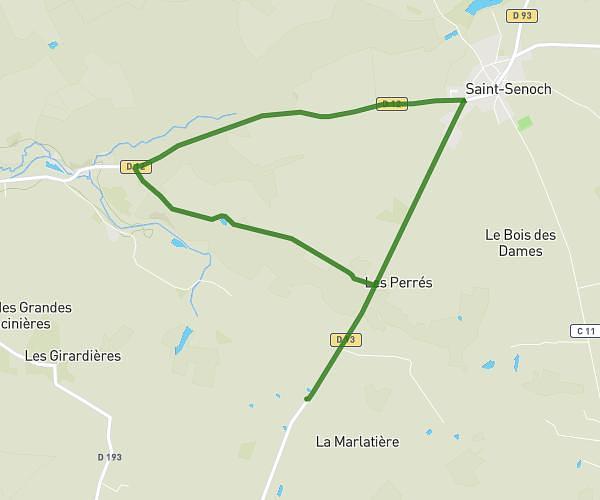
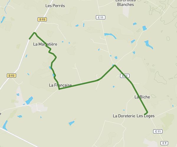
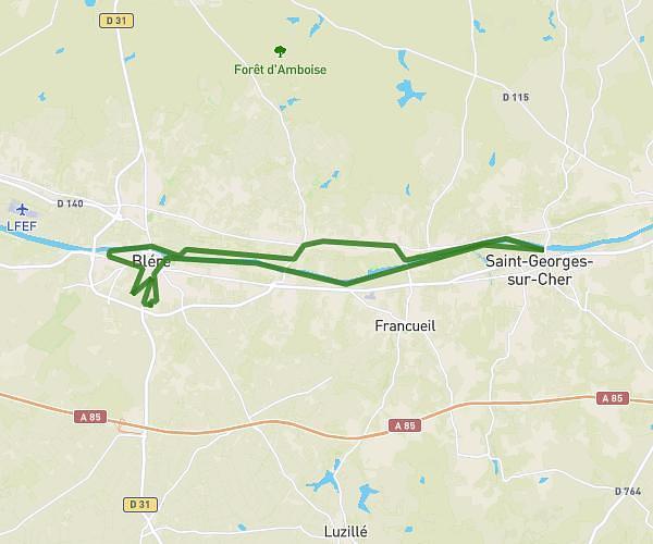
This running route covers 6.841mi starting from Beaulieu-lès-Loches, Indre-et-Loire. The run is a loop trail and returns to the trailhead. This run is rated as moderate, expect about 1h10m to complete it. The route has an elevation gain of 512ft and an elevation loss of 512ft.
11k Beaulieu Ferrière CasseCou
Route details
5.87mph
Speed
800 kcal
Calories burned
Loop trail
Route type
243ft
Min altitude
449ft
Max altitude
Route profile
512ft
Elevation gain
512ft
Elevation loss
243ft
Min altitude
449ft
Max altitude
How to get there
Trailhead: Rue Georges Patry, 37600 Beaulieu-lès-Loches
GPS coordinates of the trailhead: 47.12757, 1.01293 / 47°7'39'' N, 1°0'46'' E