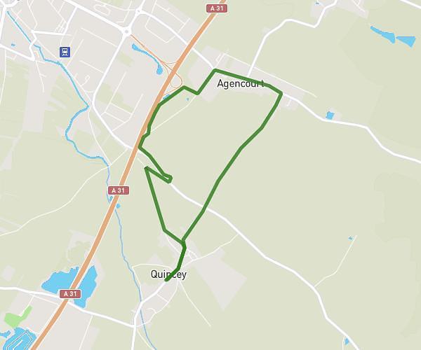
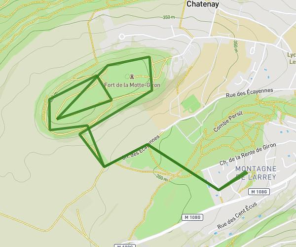
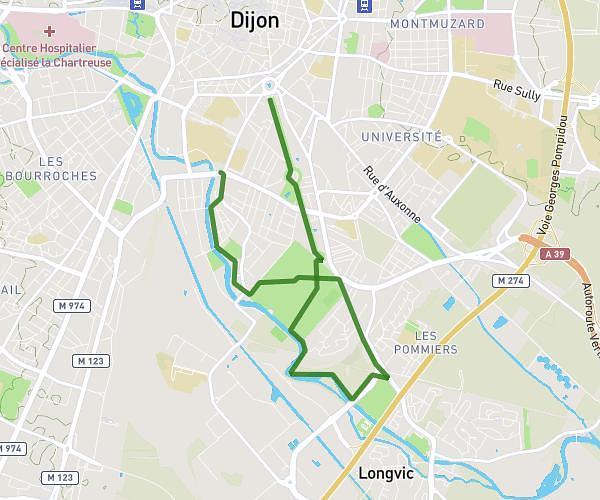
This running route covers 16.662mi starting from Côte-d’Or, Dijon. The run is a loop trail and returns to the trailhead. This run is rated as strenuous, expect about 3h to complete it. The route has an elevation gain of 1083ft and an elevation loss of 1086ft.
Ozaine
Route details
5.56mph
Speed
2058 kcal
Calories burned
Loop trail
Route type
745ft
Min altitude
955ft
Max altitude
Route profile
1083ft
Elevation gain
1086ft
Elevation loss
745ft
Min altitude
955ft
Max altitude
How to get there
Trailhead: 14 Rue Général Joubert, 21000 Dijon, France
GPS coordinates of the trailhead: 47.329674, 5.020618 / 47°19'46'' N, 5°1'14'' E