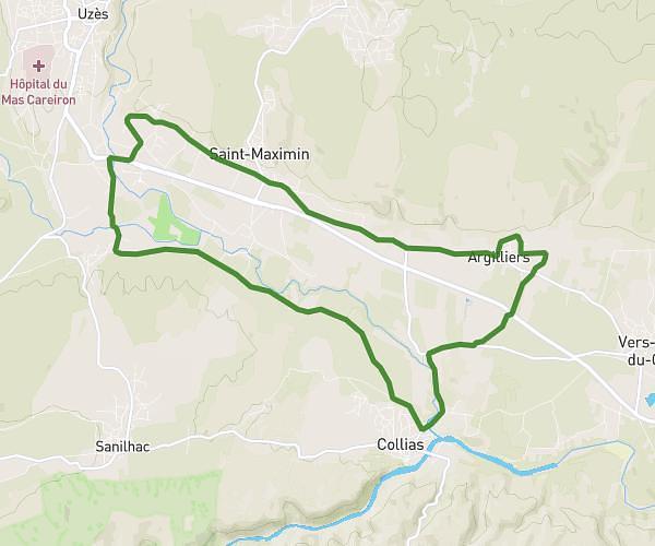
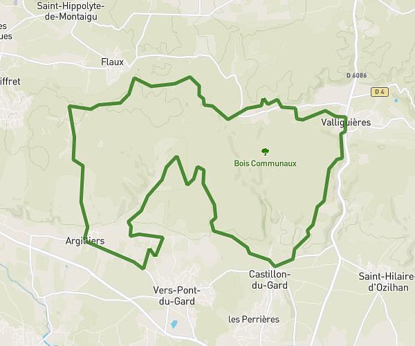
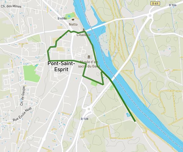
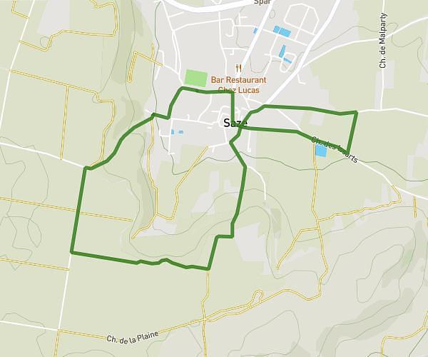
This running route covers 18.624mi starting from Saint-Pons-la-Calm, Gard. The run does not return to the trailhead and ends near Chemin De Cavillargues, 30330 Saint-Pons-la-Calm. This run is rated as strenuous, expect about 2h59m to complete it. The route has an elevation gain of 141ft and an elevation loss of 154ft.
30km St Pons
Route details
6.21mph
Speed
2056 kcal
Calories burned
Point to point
Route type
187ft
Min altitude
341ft
Max altitude
Route profile
141ft
Elevation gain
154ft
Elevation loss
187ft
Min altitude
341ft
Max altitude
How to get there
Trailhead: Rue Du Mistral, 30330 Saint-Pons-la-Calm
GPS coordinates of the trailhead: 44.10232, 4.5564 / 44°6'8'' N, 4°33'23'' E