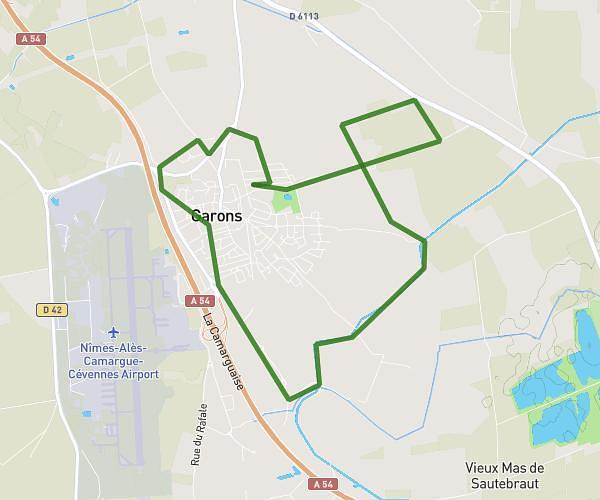
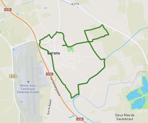
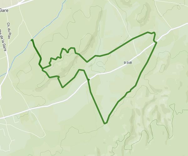
This running route covers 2.872mi starting from Saze, Gard. The run is a loop trail and returns to the trailhead. This run is rated as easy, expect about 30m48s to complete it. The route has an elevation gain of 279ft and an elevation loss of 279ft.
courir pr un reve
Route details
5.59mph
Speed
352 kcal
Calories burned
Loop trail
Route type
282ft
Min altitude
489ft
Max altitude
Route profile
279ft
Elevation gain
279ft
Elevation loss
282ft
Min altitude
489ft
Max altitude
How to get there
Trailhead: 10 Chemin Du Stade, 30650 Saze, France
GPS coordinates of the trailhead: 43.942741, 4.679446 / 43°56'33'' N, 4°40'46'' E