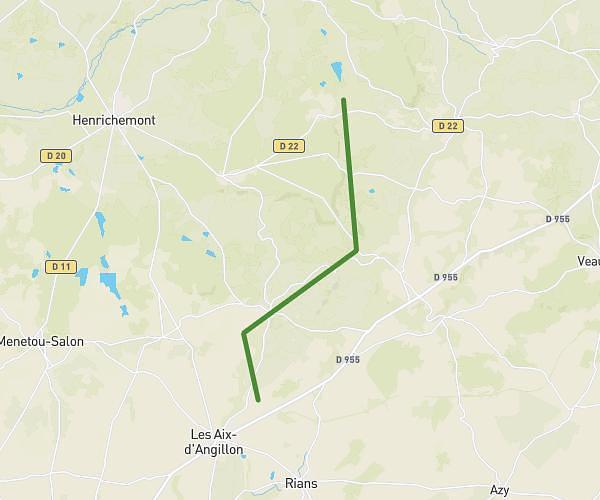
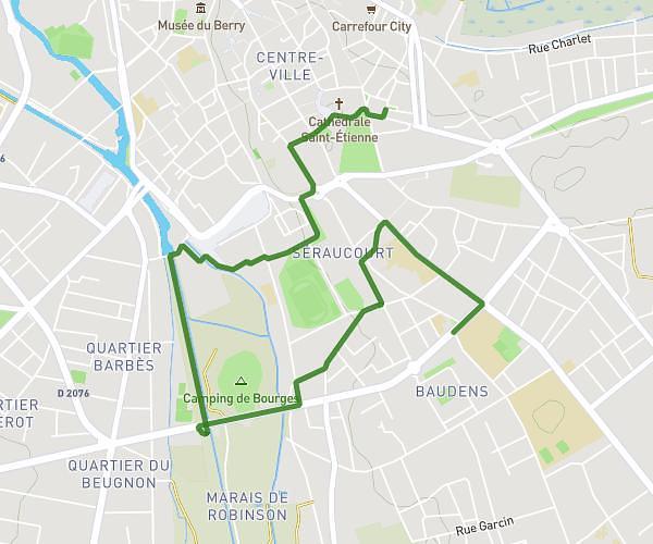
This running route covers 5.687mi starting from Saint-Éloy-de-Gy, Cher. The run is a loop trail and returns to the trailhead. This run is rated as moderate, expect about 50m2s to complete it. The route has an elevation gain of 262ft and an elevation loss of 262ft.
Le perron
Route details
6.82mph
Speed
572 kcal
Calories burned
Loop trail
Route type
489ft
Min altitude
604ft
Max altitude
Route profile
262ft
Elevation gain
262ft
Elevation loss
489ft
Min altitude
604ft
Max altitude
How to get there
Trailhead: 133 Chemin Du Danjon, 18110 Saint-Éloy-de-Gy, France
GPS coordinates of the trailhead: 47.14077, 2.36072 / 47°8'26'' N, 2°21'38'' E