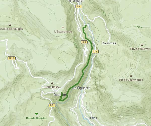
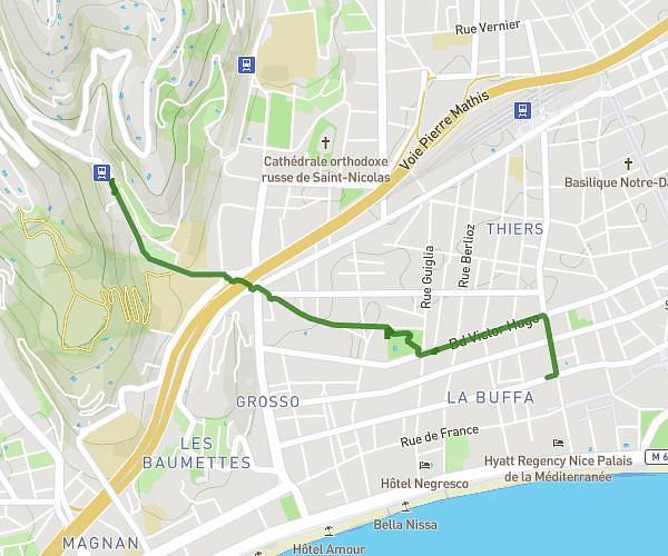
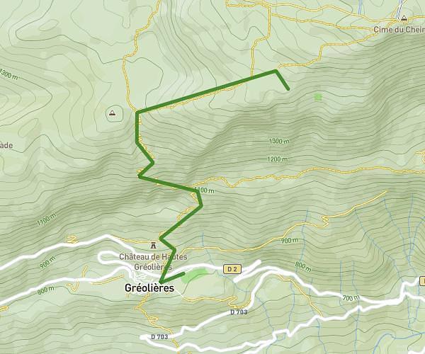
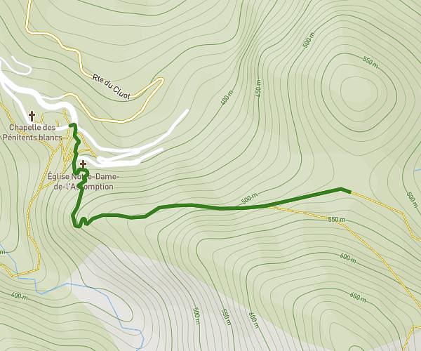
This hiking trail covers 3.741mi starting from Vence, Alpes-Maritimes. The hike does not return to the trailhead and ends near 864 Boulevard Honoré Teisseire, 06480 La Colle-sur-Loup, France. This hike is rated as moderate, plan for about 1h26m to complete it. The route has an elevation gain of 427ft and an elevation loss of 1070ft.
Fête du village
Route details
2.61mph
Speed
624 kcal
Calories burned
7.6%
Avg grade
Point to point
Route type
230ft
Min altitude
883ft
Max altitude
Route profile
427ft
Elevation gain
1070ft
Elevation loss
230ft
Min altitude
883ft
Max altitude
How to get there
Trailhead: 313 Chemin Des Mellières Est, 06140 Vence, France
GPS coordinates of the trailhead: 43.71659, 7.11497 / 43°42'59'' N, 7°6'53'' E