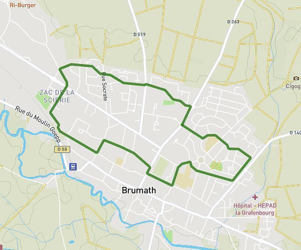
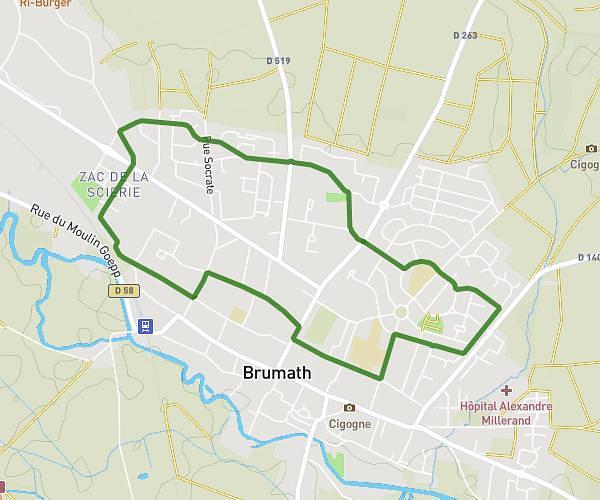
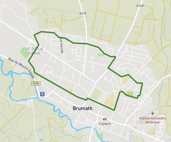
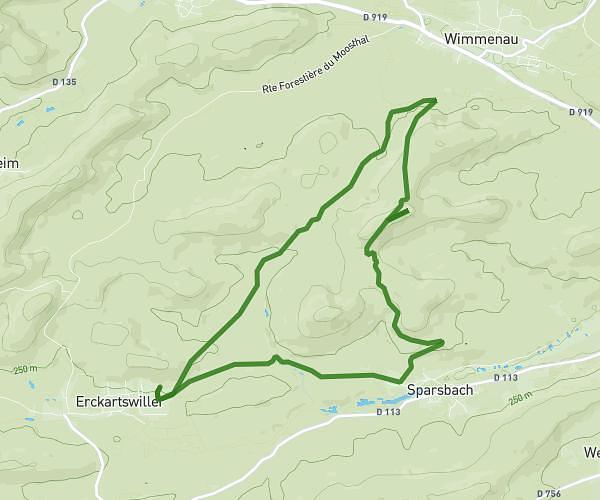
This running route covers 2.879mi starting from Wimmenau, Bas-Rhin. The run is a loop trail and returns to the trailhead. This run is rated as easy, expect about 28m20s to complete it. The route has an elevation gain of 223ft and an elevation loss of 223ft.
Tour de Wimmenau
Route details
5.32mph
Speed
324 kcal
Calories burned
Loop trail
Route type
659ft
Min altitude
728ft
Max altitude
Route profile
223ft
Elevation gain
223ft
Elevation loss
659ft
Min altitude
728ft
Max altitude
How to get there
Trailhead: 3 Rue De Lichtenberg, 67290 Wimmenau, France
GPS coordinates of the trailhead: 48.91174, 7.4291 / 48°54'42'' N, 7°25'44'' E