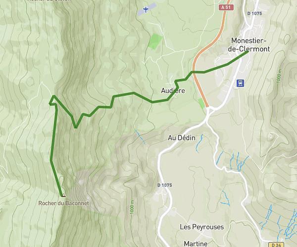
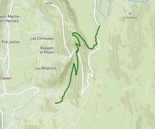
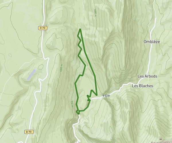
This hiking trail covers 19.272mi starting from Die, Drôme. The hike does not return to the trailhead and ends near 40 Rue Des Alisiers, 26420 La Chapelle-en-Vercors, France. This hike is rated as strenuous, plan for about 6h12m to complete it. The route has an elevation gain of 3553ft and an elevation loss of 2001ft.
Jours 6
Route details
3.11mph
Speed
2757 kcal
Calories burned
5.5%
Avg grade
Point to point
Route type
1283ft
Min altitude
4341ft
Max altitude
Route profile
3553ft
Elevation gain
2001ft
Elevation loss
1283ft
Min altitude
4341ft
Max altitude
How to get there
Trailhead: 50 Rue Émile Laurens, 26150 Die, France
GPS coordinates of the trailhead: 44.75343, 5.36997 / 44°45'12'' N, 5°22'11'' E