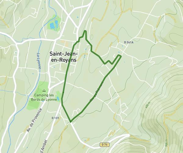
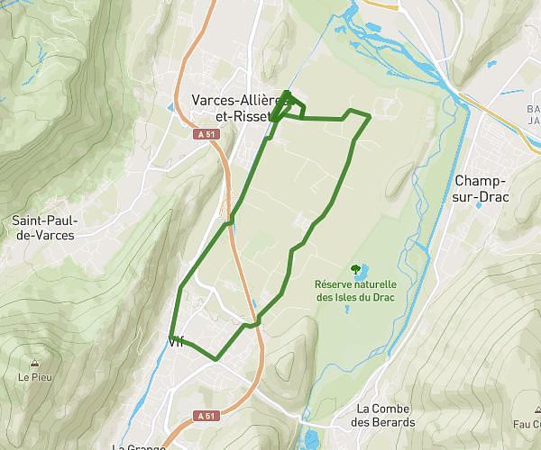
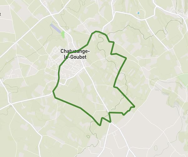
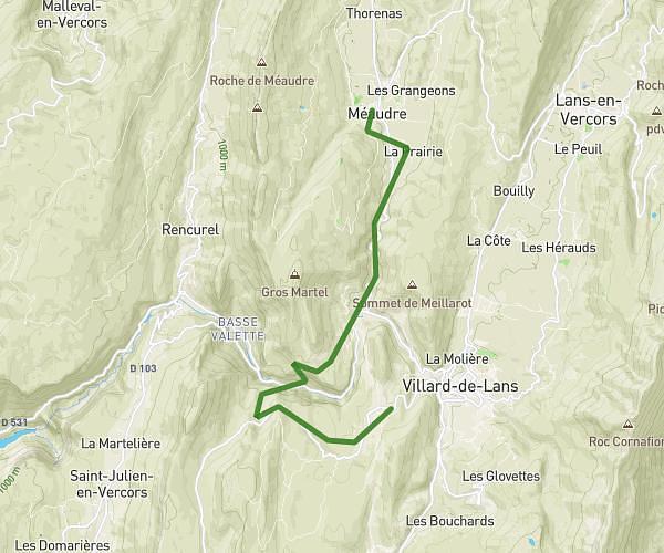
This running route covers 22.058mi starting from La Chapelle-en-Vercors, Drôme. The run does not return to the trailhead and ends near 91 Rue De La Trainière, 38470 Cognin-les-Gorges, France. This run is rated as strenuous, expect about 7h5m to complete it. The route has an elevation gain of 0ft and an elevation loss of 2244ft.
Jours 7
Route details
3.11mph
Speed
4870 kcal
Calories burned
Point to point
Route type
712ft
Min altitude
2956ft
Max altitude
Route profile
0ft
Elevation gain
2244ft
Elevation loss
712ft
Min altitude
2956ft
Max altitude
How to get there
Trailhead: 130 Avenue Des Sources, 26420 La Chapelle-en-Vercors, France
GPS coordinates of the trailhead: 44.97044, 5.41213 / 44°58'13'' N, 5°24'43'' E