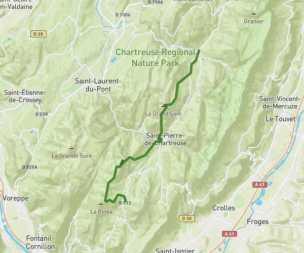
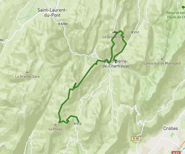
This running route covers 9.199mi starting from Varces-Allières-et-Risset, Isère. The run is a loop trail and returns to the trailhead. This run is rated as hard, expect about 1h39m to complete it. The route has an elevation gain of 466ft and an elevation loss of 466ft.
Parcours 15km
Route details
5.57mph
Speed
1132 kcal
Calories burned
Loop trail
Route type
863ft
Min altitude
1030ft
Max altitude
Route profile
466ft
Elevation gain
466ft
Elevation loss
863ft
Min altitude
1030ft
Max altitude
How to get there
Trailhead: 33t Rue De Berliognières, 38760 Varces-Allières-et-Risset, France
GPS coordinates of the trailhead: 45.089328, 5.692465 / 45°5'21'' N, 5°41'32'' E