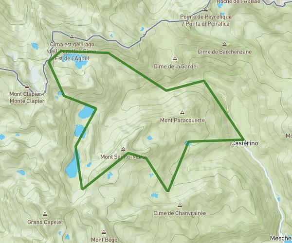
This hiking trail covers 13.76mi starting from Tende, Alpes-Maritimes. The hike is a loop trail and returns to the trailhead. This hike is rated as strenuous, plan for about 6h54m to complete it. The route has an elevation gain of 5472ft and an elevation loss of 5466ft.
Boucle Castérino Vej del Bouc
Route details
1.99mph
Speed
3262 kcal
Calories burned
15.1%
Avg grade
Loop trail
Route type
5069ft
Min altitude
8533ft
Max altitude
High altitude
Steep climb
Route profile
5472ft
Elevation gain
5466ft
Elevation loss
5069ft
Min altitude
8533ft
Max altitude
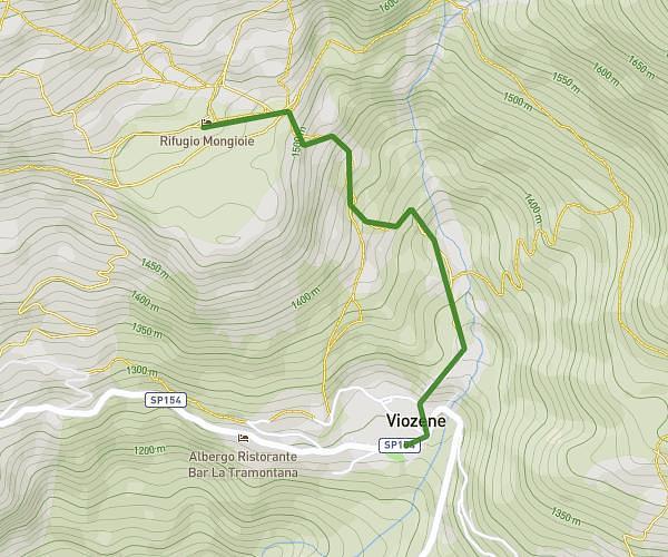
How to get there
Trailhead: 4185 Route De Castérino, 06430 Tende, France
GPS coordinates of the trailhead: 44.096414, 7.507428 / 44°5'47'' N, 7°30'26'' E