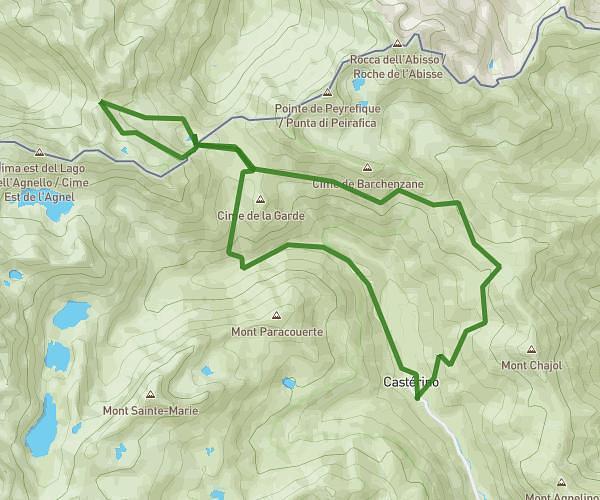
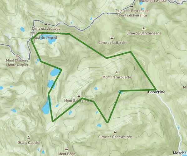
This hiking trail covers 12.183mi starting from Belvédère, Alpes-Maritimes. The hike does not return to the trailhead and ends near 06450, Saint-Martin-Vésubie, Alpes-Maritimes, France. This hike is rated as strenuous, plan for about 4h21m to complete it. The route has an elevation gain of 3658ft and an elevation loss of 2444ft.
j2 mercantour
Route details
2.8mph
Speed
2000 kcal
Calories burned
9.5%
Avg grade
Point to point
Route type
5745ft
Min altitude
7520ft
Max altitude
Steep climb
Route profile
3658ft
Elevation gain
2444ft
Elevation loss
5745ft
Min altitude
7520ft
Max altitude
How to get there
Trailhead: 06450, Belvédère, Alpes-Maritimes, France
GPS coordinates of the trailhead: 44.062246, 7.340827 / 44°3'44'' N, 7°20'26'' E