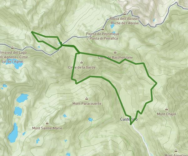
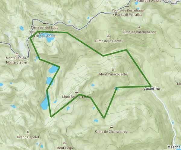
This hiking trail covers 4.68mi starting from Saint-Martin-Vésubie, Alpes-Maritimes. The hike does not return to the trailhead and ends near 06450, Saint-Martin-Vésubie, Alpes-Maritimes, France. This hike is rated as strenuous, plan for about 3h57m to complete it. The route has an elevation gain of 3064ft and an elevation loss of 1447ft.
Lacs Besson - Refuge Cougourde
Route details
1.19mph
Speed
2002 kcal
Calories burned
18.3%
Avg grade
Point to point
Route type
5305ft
Min altitude
8327ft
Max altitude
High altitude
Steep climb
Route profile
3064ft
Elevation gain
1447ft
Elevation loss
5305ft
Min altitude
8327ft
Max altitude
How to get there
Trailhead: M 189, 06450 Saint-Martin-Vésubie, France
GPS coordinates of the trailhead: 44.11005, 7.30762 / 44°6'36'' N, 7°18'27'' E