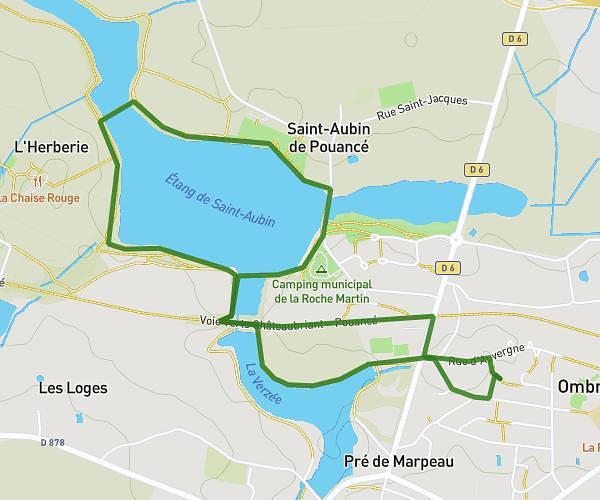
This hiking trail covers 2.144mi starting from Ombrée d'Anjou, Maine-et-Loire. The hike is a loop trail and returns to the trailhead. This hike is rated as easy, plan for about 38m to complete it. The route has an elevation gain of 131ft and an elevation loss of 131ft.
parcours 1
Route details
3.39mph
Speed
271 kcal
Calories burned
2.3%
Avg grade
Loop trail
Route type
210ft
Min altitude
262ft
Max altitude
Route profile
131ft
Elevation gain
131ft
Elevation loss
210ft
Min altitude
262ft
Max altitude
How to get there
Trailhead: Rue Roger Pironneau, 49420 Ombrée d'Anjou
GPS coordinates of the trailhead: 47.74454, -1.16801 / 47°44'40'' N, 1°10'4'' W