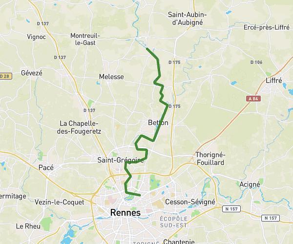
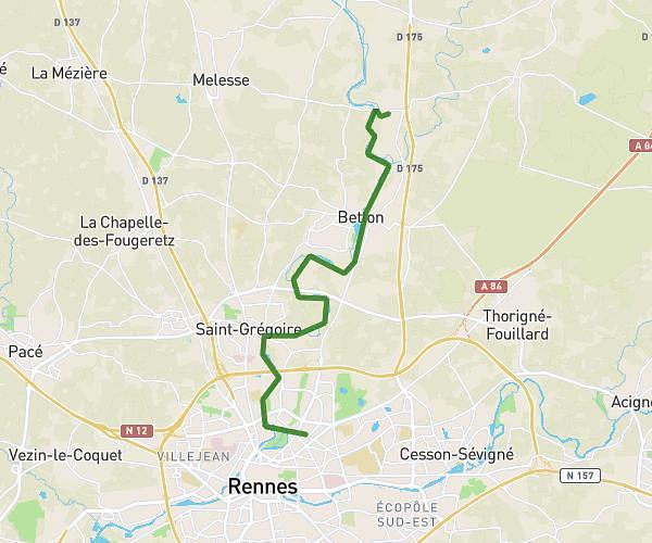
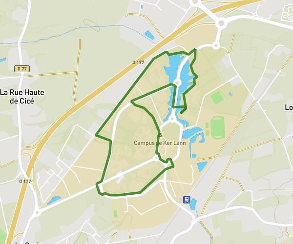
This hiking trail covers 8.374mi starting from Essé, Ille-et-Vilaine. The hike is a loop trail and returns to the trailhead. This hike is rated as moderate, plan for about 1h21m to complete it. The route has an elevation gain of 528ft and an elevation loss of 528ft.
La Marche des Fées
Route details
6.2mph
Speed
578 kcal
Calories burned
2.4%
Avg grade
Loop trail
Route type
167ft
Min altitude
292ft
Max altitude
Route profile
528ft
Elevation gain
528ft
Elevation loss
167ft
Min altitude
292ft
Max altitude
How to get there
Trailhead: 9 La Roche Aux Fées, 35150 Essé, France
GPS coordinates of the trailhead: 47.93628, -1.40422 / 47°56'10'' N, 1°24'15'' W