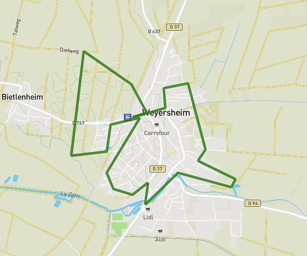
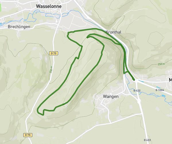
This running route covers 3.404mi starting from Bischheim, Bas-Rhin. The run is a loop trail and returns to the trailhead. This run is rated as easy, expect about 25m44s to complete it. The route has an elevation gain of 108ft and an elevation loss of 108ft.
Bischheim Champ 5km
Route details
7.93mph
Speed
294 kcal
Calories burned
Loop trail
Route type
459ft
Min altitude
499ft
Max altitude
Route profile
108ft
Elevation gain
108ft
Elevation loss
459ft
Min altitude
499ft
Max altitude
How to get there
Trailhead: Avenue De Périgueux, 67800 Bischheim
GPS coordinates of the trailhead: 48.61425, 7.74732 / 48°36'51'' N, 7°44'50'' E