MapPlanner
3.49mi
Distance
53m4s
Duration
15:12/mi
Pace
Easy
Level

Couvignon - Val Perdu - Couvignon

A field of spring flax on this circuit 😍!

Route details

15:12/mi
Pace
217 kcal
Calories burned
Loop trail
Route type
663ft
Min altitude
801ft
Max altitude

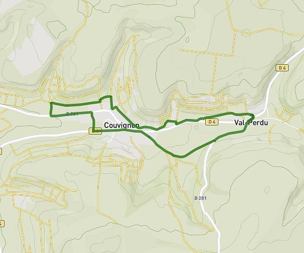
This walking route covers 3.49mi starting from Couvignon, Aube. The walk is a loop trail and returns to the trailhead. This walk is rated as easy, plan for about 53m4s to complete it. The route has an elevation gain of 315ft and an elevation loss of 315ft.

Description of the route by the creator

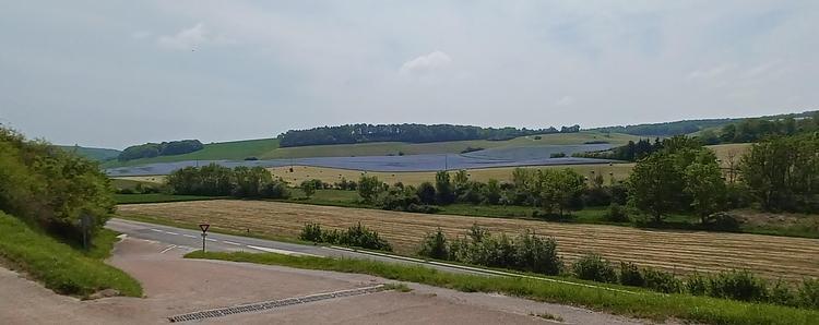
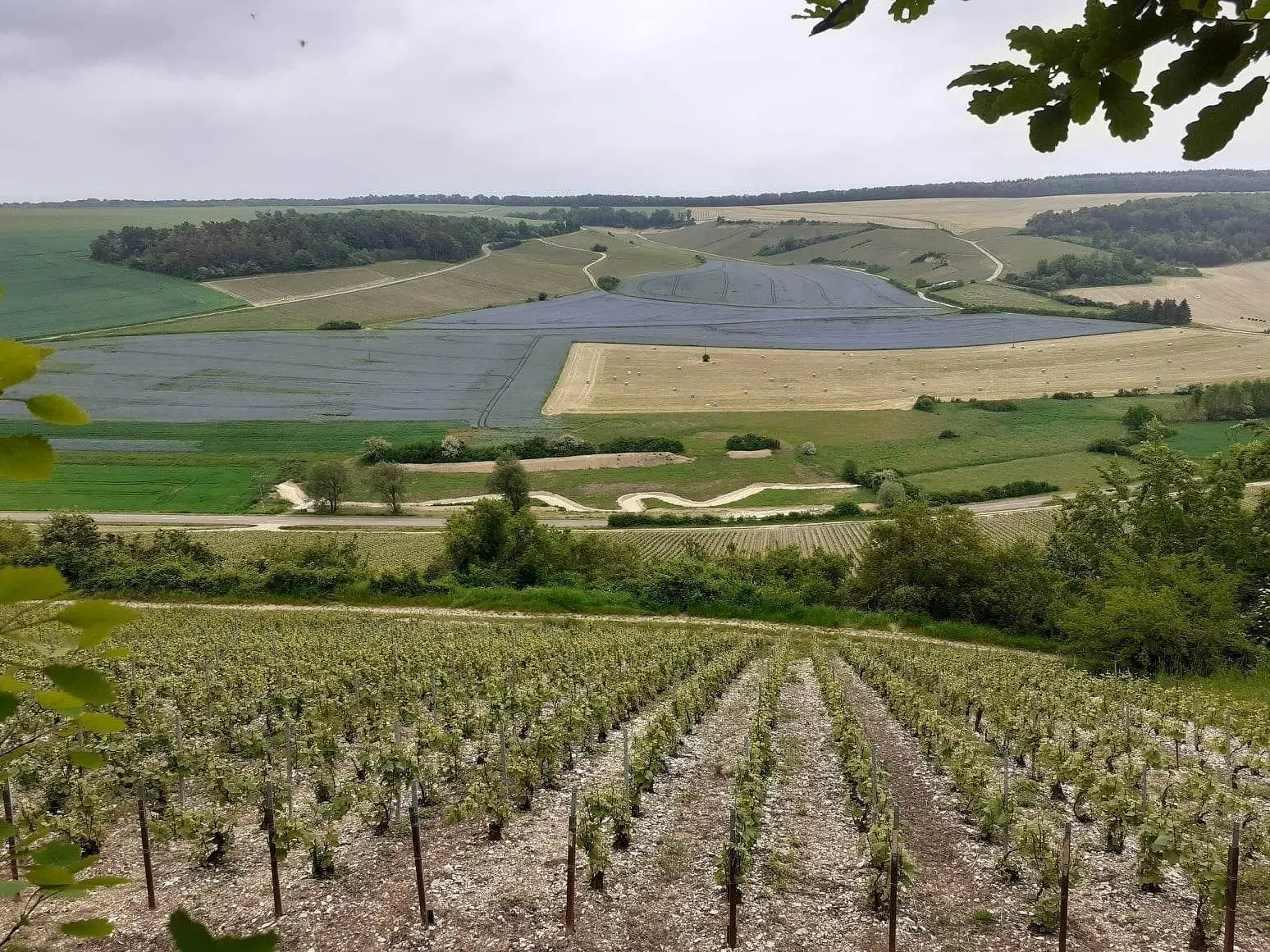
A trail through the Champagne vineyards

(Description automatically translated)

Route profile

315ft
Elevation gain
315ft
Elevation loss
663ft
Min altitude
801ft
Max altitude

How to get there

Trailhead: 5 Rue De La Fontaine De La Pierre, 10200 Couvignon, France

GPS coordinates of the trailhead: 48.20628, 4.65502 / 48°12'22'' N, 4°39'18'' E

Caution: May Cross Private Property

This route may pass through or near private property. Always respect posted signs, obtain permission where required, and follow local trespassing laws. MapPlanner does not guarantee public access along any route.

Safety Notice

Trail and road conditions may change without notice due to weather, construction, or other factors. Always verify current conditions before heading out. You are responsible for your own safety — follow local signage, obey traffic laws, and use your best judgment on the trail.