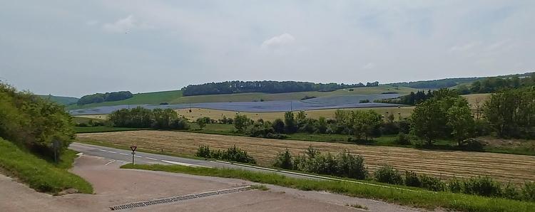
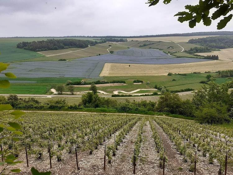
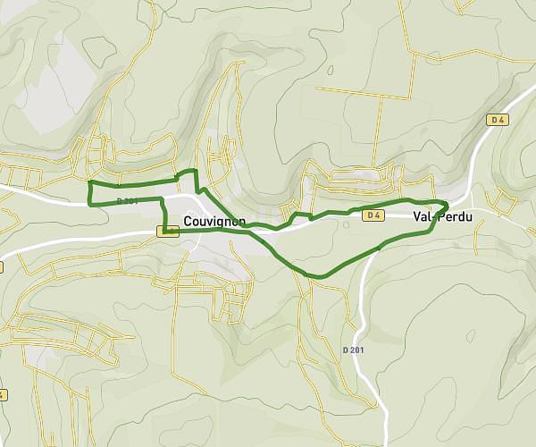
This walking route covers 1.721mi starting from Châteauvillain, Haute-Marne. The walk is a loop trail and returns to the trailhead. This walk is rated as easy, plan for about 37m to complete it. The route has an elevation gain of 161ft and an elevation loss of 161ft.
Creancey
Route details
21:30/mi
Pace
151 kcal
Calories burned
Loop trail
Route type
827ft
Min altitude
912ft
Max altitude
Route profile
161ft
Elevation gain
161ft
Elevation loss
827ft
Min altitude
912ft
Max altitude
How to get there
Trailhead: 7 Rue Des Prés, 52120 Châteauvillain, France
GPS coordinates of the trailhead: 48.011305, 4.888662 / 48°0'40'' N, 4°53'19'' E