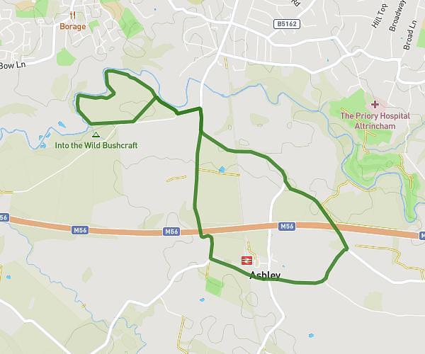
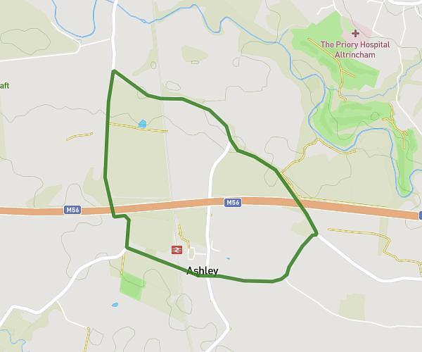
This walking route covers 5.377mi starting from Manchester, England. The walk does not return to the trailhead and ends near 43 Redwing Avenue, Manchester, M21 7JS, United Kingdom. This walk is rated as hard, plan for about 1h52m to complete it. The route has an elevation gain of 338ft and an elevation loss of 371ft.
Didsbury Mersey Riverside Pedestrian Diversion
Route details
20:59/mi
Pace
460 kcal
Calories burned
Point to point
Route type
72ft
Min altitude
141ft
Max altitude
Route profile
338ft
Elevation gain
371ft
Elevation loss
72ft
Min altitude
141ft
Max altitude
How to get there
Trailhead: 60 Riverton Road, Manchester, M20 5GH, United Kingdom
GPS coordinates of the trailhead: 53.40118, -2.23383 / 53°24'4'' N, 2°14'1'' W