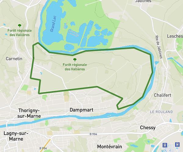
This hiking trail covers 31.318mi starting from Vincennes, Val-de-Marne. The hike does not return to the trailhead and ends near Rue De La Mairie, 77230 Saint-Mard. This hike is rated as hard, plan for about 10h51m to complete it. The route has an elevation gain of 1007ft and an elevation loss of 810ft.
ÉTAPE 1 (ENSEMBLE CONTRE CHARCOT)
Route details
2.89mph
Speed
4603 kcal
Calories burned
1.1%
Avg grade
Point to point
Route type
164ft
Min altitude
643ft
Max altitude
Route profile
1007ft
Elevation gain
810ft
Elevation loss
164ft
Min altitude
643ft
Max altitude
How to get there
Trailhead: Esplanade Saint-Louis, 94300 Vincennes
GPS coordinates of the trailhead: 48.84109, 2.43567 / 48°50'27'' N, 2°26'8'' E